


Location and Traffic Connections
Geographical position of the Port of Dubrovnik and information on maritime and land access.
Port of Dubrovnik
Geographical and Navigational Data
Latitude: 42º38' N
Longitude: 018º07' E
Admiralty Chart: BA 683
Admiralty Pilot: NP 47
Time Zone: GMT + 1h
UNCTAD Locode: HR DBV
Port Access: Navigational Waterway
Maritime Approach
Approach to the port from the southwest through Velika Vrata (between Greben and the island of Koločep) and southern approach from the direction of Koločep Channel, north of the island of Daksa.
Approach coordinates: lat = 42º40' N / long = 018º04' E
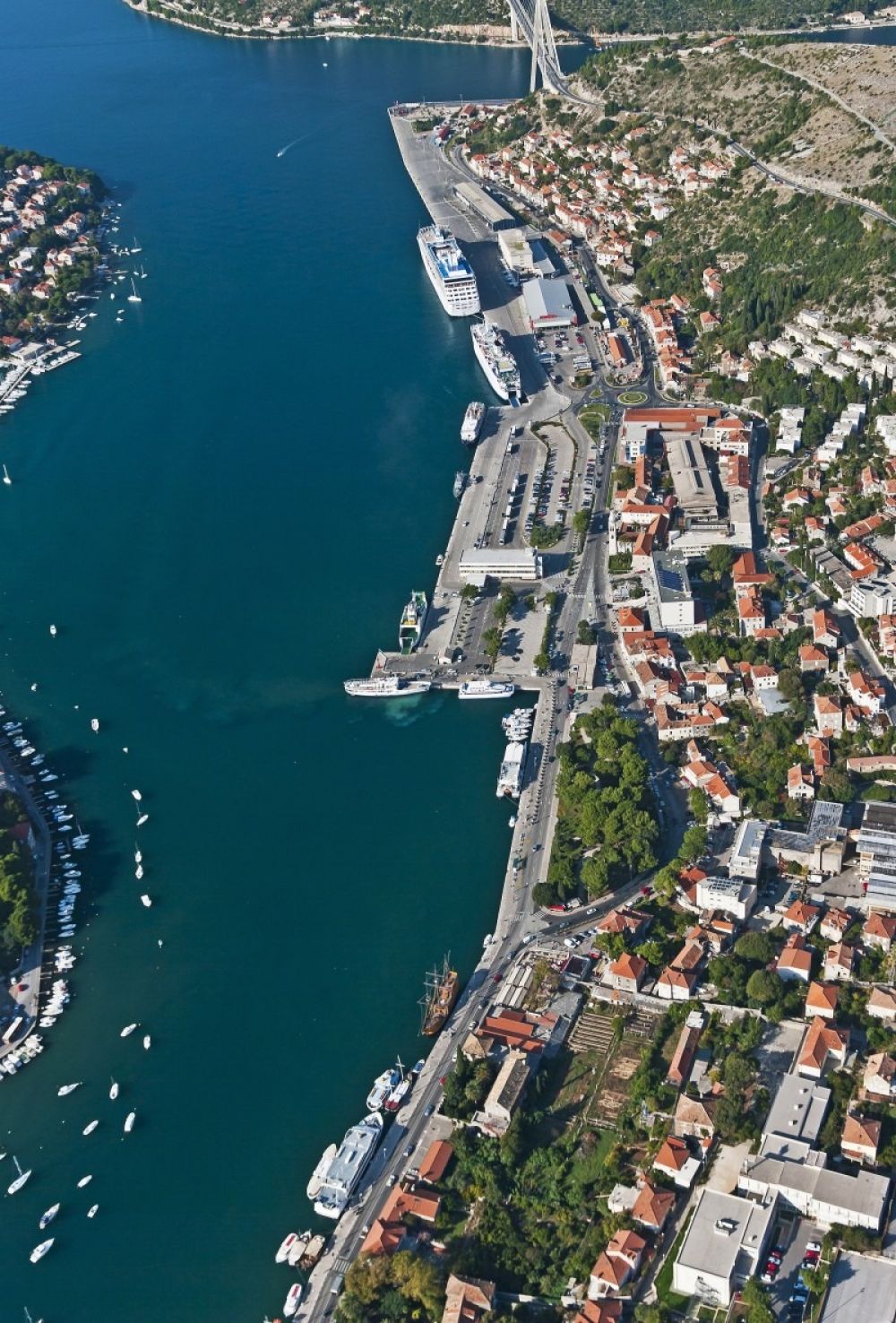
Port Access: Land Route
D8 Adriatic Highway
The Adriatic Highway (Adriatic Tourist Road) is one of the main Croatian state roads connecting the northern and southern Adriatic. It extends along the northern coast of the Adriatic Sea, which is why it is called the Adriatic Highway.
It was built in the 1950s and 1960s, and its road designation is D8. The length through Croatia is 643.1 km.
This road connects all major Croatian coastal urban centres from Rijeka, through Zadar, Šibenik, Split, Makarska, Ploče and Dubrovnik, all the way to the Debeli Brijeg border crossing between Croatia and Montenegro.
The road passes through three countries (Croatia, Bosnia and Herzegovina and Montenegro) and through six Croatian counties: Primorje-Gorski Kotar, Lika-Senj, Zadar, Šibenik-Knin, Split-Dalmatia and Dubrovnik-Neretva.
Distances
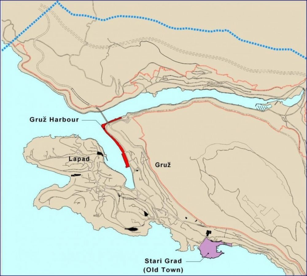
Distances from the Port of Gruž
Dubrovnik Old Town: 3 km
Čilipi Airport: 20 km


